
Capture, process, edit, and present GIS and GPS data. Work with different sets of geographic information and create a custom presentation to manage ArcGIS for Desktop, ArcGIS for Server and ArcGIS Online projects. Enable quick updating, save and share results.
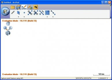
ArcPad is a field mapping and data collection program designed for GIS professionals. The program includes advanced GIS and GPS capabilities for capturing, editing and displaying geographic information quickly and efficiently. It integrates directly with ArcGIS for Desktop, ArcGIS for Server and ArcGIS Online.





Comments