ArcPad 10.2

ArcPad is a field mapping and data collection program
5 
Rating
Your vote:
Latest version:
10.2.99 See all
Developer:
Screenshots
1 / 1
Demo
Used by 3 people
Download
114 MB

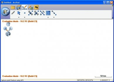
ArcPad is a field mapping and data collection program designed for GIS professionals. The program includes advanced GIS and GPS capabilities for capturing, editing and displaying geographic information quickly and efficiently. It integrates directly with ArcGIS for Desktop, ArcGIS for Server and ArcGIS Online.

Comments

5 stars
4
4 stars
0
3 stars
0
2 stars
0
1 stars
0
User

Your vote:

Related software

HOLUX ezTour for Logger
Free
rating

Visualizes your tracks on Google Maps showing coordinates like latitude.

Geographic Tracker
Geographic Tracker
rating

GPS interface tool that can be used with Windows

MapWindow GIS Lite
MapWindow GIS Lite
Free
rating

With this app you can visualize, edit, analyse data, and compose printable maps

Lefebure GPS Field
Lefebure GPS Field
Free
rating

This is a project to build an auto-steer system for agricultural use.

GV-GIS
GV-GIS
Free
rating

Obtains the GPS data, vehicle coordinates and speed, from the satellite.

Related suggestions